Surveying & Mapping Drone GNSS RTK Drone Professional
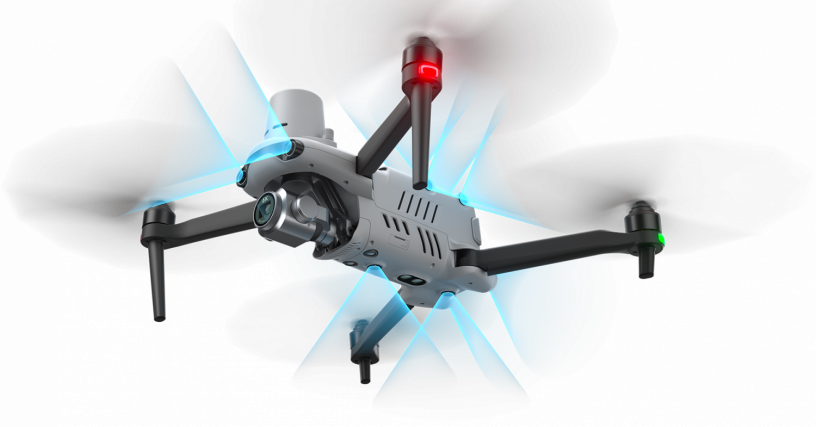
1 year ago - Business, Industrial & Agriculture - Karachi - 173 viewsThe EVO II RTK Series V3 integrates an entirely new RTK module for 2022, which provides real-time centimeter-level positioning data in three minutes and supports Post-Processing Kinematic (PPK). The aircraft can record the original satellite observation data, camera exposure parameters and more. The positioning system supports RTK base station and NTRIP RTK network, which helps to achieve accurate and stable data acquisition in complex operating environments.
RTK Horizontal Positioning Accuracy: 1cm+1ppm
RTK Vertical Positioning Accuracy: 1.5cm+1ppm
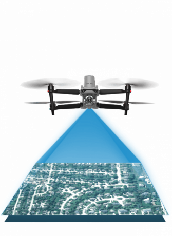
5cm* absolute horizontal accuracy of photogrammetric models
*2.74 cm GSD when flying at 100 m height, Inertial Explorer for post-processing
No GCP Required: EVO II RTK Series V3 connects to NTRIP network and does not need GCPs to provide centimeter-grade accuracy.
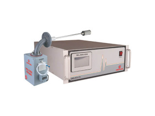
3rd Party Base Station Support: EVO II RTK Series V3 supports all NTRIP compatible base stations.
